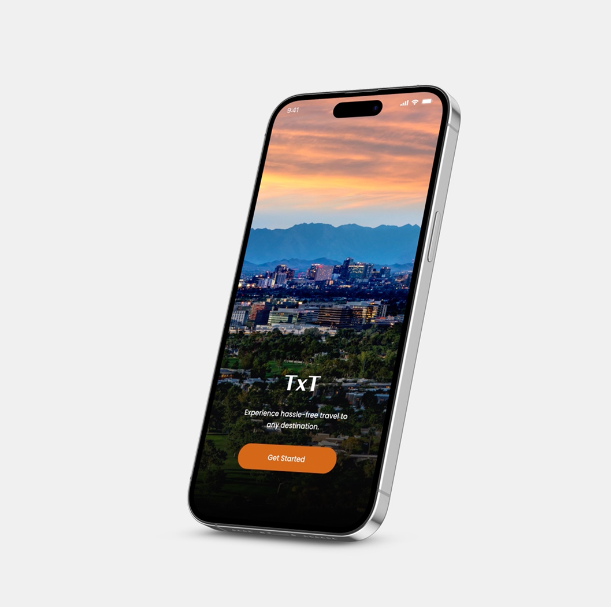
TxT is an augmented reality-based transportation app that alleviates common stressors of commutes. Arrival times, customized restaurant recommendations, delays, and accessibility notifications are intuitively displayed on a carefully cohesive interface, allowing users of all ages and ability the opportunity to benefit. With TxT, communication between traveler and mode of transport is enhanced to encourage use of the streetcar, light rail, among other futuristic transport.
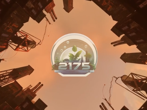
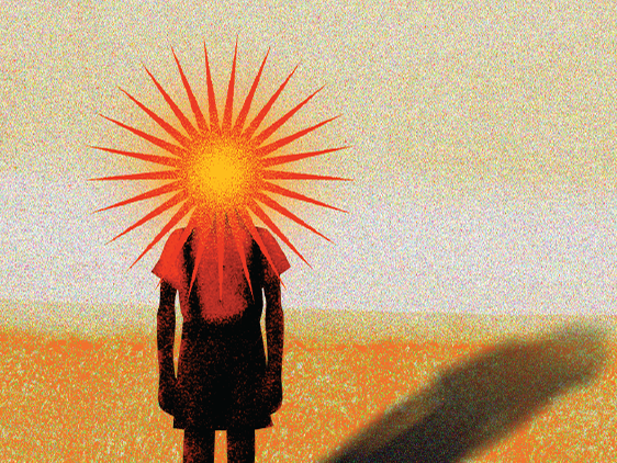
We tell a story of Phoenix in 2044, transformed by AI and AR into a model of innovative urban transport, demonstrating the power of technology in reshaping city life.
Team member: Harika Kolli, Kacy Hatfield, Yannie Szeto
Project Tech Stack: Adobe Aero, After Effects, Illustrator, Photoshop, Blender, Figma
Concept
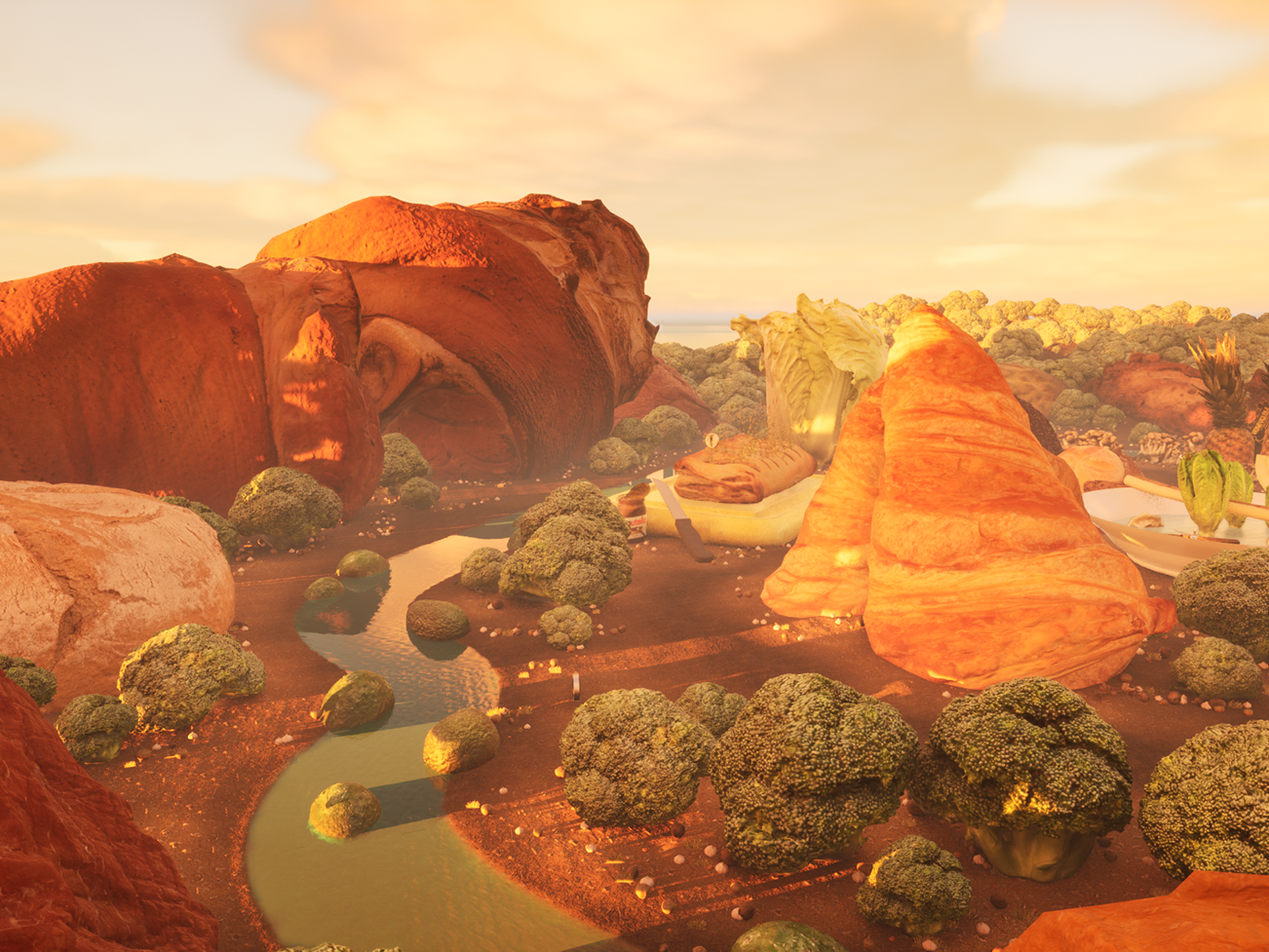
Phoenix City, the fifth-largest city in the United States, presents a unique opportunity for transformative urban development powered by advanced technology. With a thriving economy, a diverse workforce, and a commitment to sustainable growth, Phoenix is poised to become a model city for innovative urban transport solutions. The challenges of congestion, pollution, and urban sprawl in Phoenix call for a visionary approach that leverages AI and AR to reshape the urban landscape.
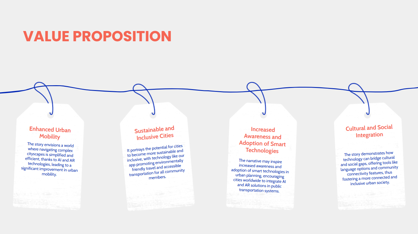
Urban mobility is a major challenge facing cities worldwide. Our app offers an innovative solution, using AI and AR to simplify navigation of complex urban environments. By promoting sustainable and inclusive transportation options, we not only increase accessibility and environmental friendliness, but also bridge social and cultural divides. With smart technologies like ours, cities can transform into connected, efficient and integrated communities.
Key Functions

TxT has a few key functions, including giving personalized recommendations, showing real-time trending places, AR map and the buddy system. Let’s take a look of a video highlighting different features of the app.
TxT uses an AI algorithm associated with machine learning to give our users personalized recommendations. User profiles are built based on their preferences and past interactions. When a user looks for recommendations, our system analyzes the content characteristics of different places and suggests the most suitable ones to the user according to their preferences and past interactions. It helps alleviate the stress from overwhelming choices.
Wondering where other people have their dinner? Users can view the real-time favorite places of other users on our real time trending page. Trending charts, pictures and reviews can be found, helping you make the best decision.
TxT has an augmented reality map function that helps users with navigating difficulties. Directions are shown on the camera image, making it easier for users to follow. Information related to the area can also be shown, so users can learn more about the area they’re at on their way to their destinations.
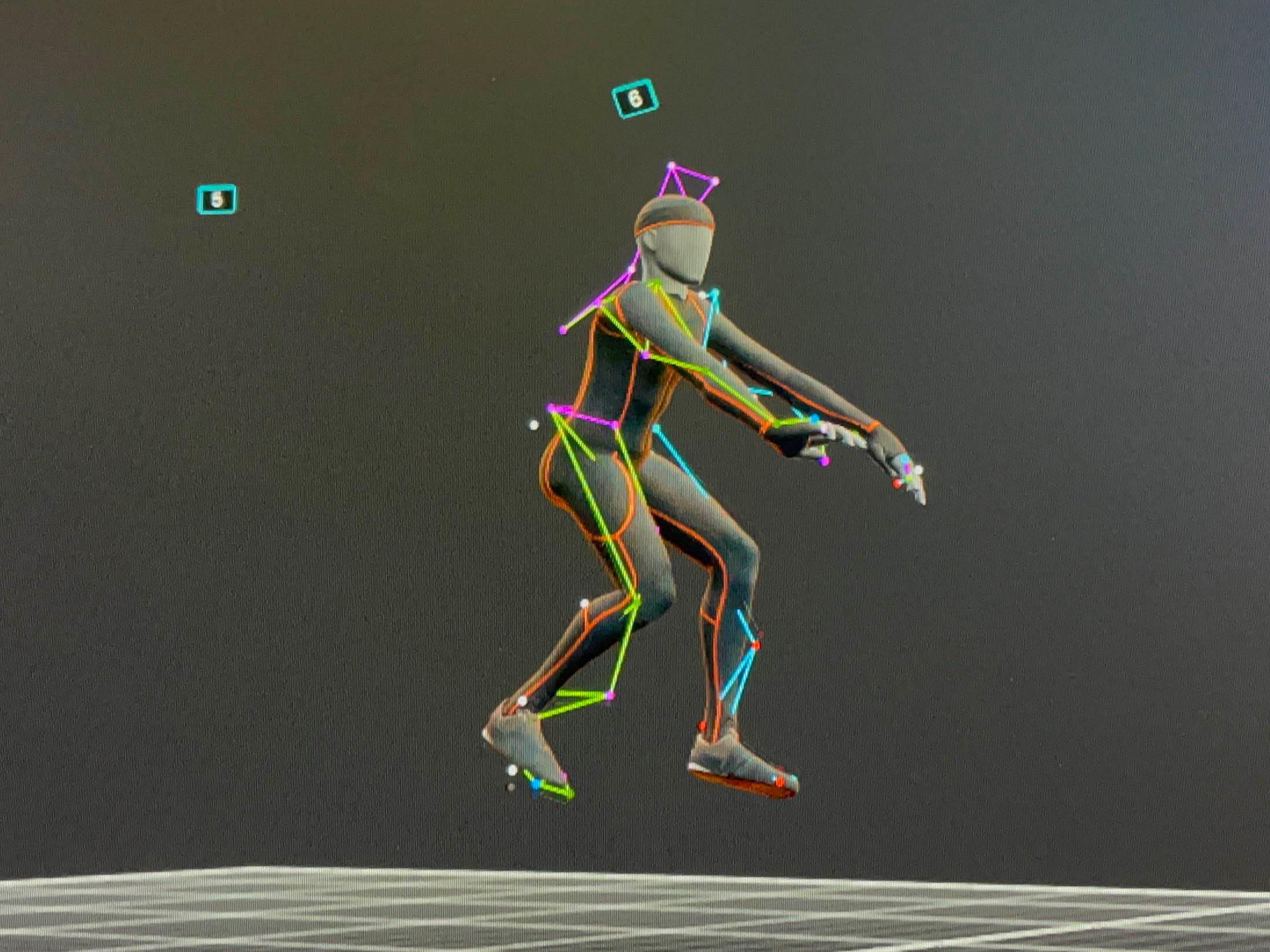
Users can also use our buddy system while navigating with the AR map. The customized AR characters are always ready to accompany our users to their destinations.
Business Model
The TxT transportation app will be available to download from Play store and App store in near future. Users can create their own profiles and get personalized recommendations anytime. TxT will also work with public transit providers. Real-time feedback and data collection can help in optimizing routes and schedules, making public transport more reliable.
Target Audience
Our target audience are people living in Phoenix. We hope to make the traveling experience easier and more interesting for people and encourage more people to use public transport in the long run. Users of all ages and abilities would be able to use the app thanks to the carefully cohesive design. We include different language options so users from different parts of the world would be able to explore the city easily.
Current Status/ Near Future
Currently, we have a mobile app design prototype that shows different functions and the layout of the TxT app. We have tested the AR map function on Adobe Aero, we are confident that the AR map could be implemented intensively.
We are hoping to enhance the recommendation system so our users get better recommendations. We also expect the geospatial recognition to become more accurate, so it can take less time in recognizing the places where users point their camera to.
Adopting widespread change of this system will take time, as this not only requires people rely less on individual vehicles, but also that public transportation systems are well established in numerous locations. It is hoped that communication between traveler and mode of transport is enhanced to encourage use of the streetcar, light rail, among other futuristic transport with the use of TxT.